Tashiling

We Care, We Share
UN and JICA Bhutan’s joint initiative - Resilience tools for COVID-19
Tashiling is a small village which is believed to be located right in the centre of any map of Bhutan, at a longitude of 90.4O E which is used to calculate Bhutan Standard Time. Tashiling is located at Tangsibjee Gewog under Trongsa Dzongkhag. The stream that flows near the village is called Tashiling Chhu, which is locally called as ‘Shawchhu’. The stream is small but perennial, swelling during monsoon seasons due to collection of runoff water from the local catchment area. The east-west lateral highway crosses this stream at 158km on the Simtokha-Trashigang Primary National Highway 1, which is 21 km from Trongsa.
“The local people have informed us that there are many small tributaries joining this small stream and have caused several flash floods before, washing away bridges at this junction. The previous Reinforced Cement Concrete (RCC) slab bridge, spanning 7m on the highway of the Shawchhu Gorge, was constructed sometime in the year 2007. Ever since the construction of this bridge, there was no report of flash floods cutting off the highway at this junction, until the monsoonal flash floods of 2020,” shared Thinley Dorji, an engineer with the Trongsa Department of Roads (DoR) Regional Office.
Usually, people and vehicles travelling from west to east use the Indian highway since travel time is considerably reduced. However, since the onset of COVID-19 and the closure of all international borders to, the Primary National Highway 1 that links western Bhutan to the east has become a crucial road for logistics as well as for people to travel. Maintaining the road and infrastructure along PNH1 has become very important from the perspective of the pandemic.
“Flash flooding at this stream occurred on the morning of 12th June 2020 at around 1:00AM and it washed away the existing RCC slab bridge and the national east-west highway was cut off at this point,” said Thinley. The flash flooding was significant and Immediately on the morning of 12th June 2020, the Regional Office visited the site and started mobilising machinery and pipes to restore it.
Thinley further shared, “According to an aerial view of the area, there was no lake located at the top of the stream nor in between the catchment areas. The catchment area’s crown distance is not very long as depicted on Google Maps. The flash flooding is believed to be caused by heavy rainfall that triggered landslides forming an artificial lake which eventually burst.”
Similarly, the same rainfall on the night of 12th June 2020 caused so much flash flooding along Chuserbu to Bjee Zam Highway that it became disconnected. These included flash floods that damaged Banglapok to Brigde, Tshangkha RCC Culvert (Gongkor chhu) and two culverts at Bjee Zam. On the night of 21st June 2020 at 11:30 PM, swelling of the stream once again washed away the same pipes laid out for the temporary passage of traffic at Shawchhu.
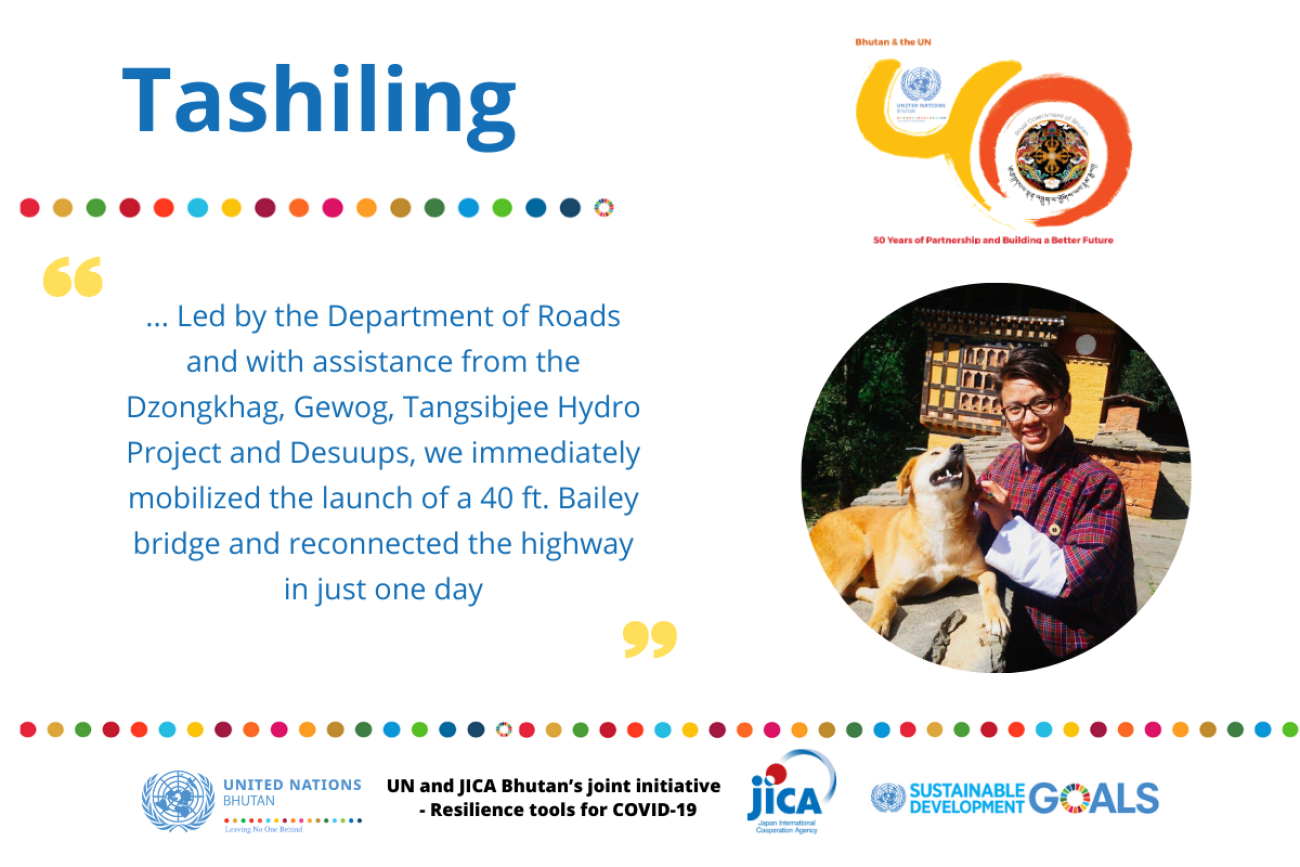
“The Lateral highway was again completely cut off at this point. Led by the Department of Roads and with assistance from the Dzongkhag, Gewog, Tangsibjee Hydro Project and Desuups, we immediately mobilized the launch of a 40 ft. Bailey bridge and reconnected the highway in just one day,” said Thinley. The launch of the Bailey bridge allowed traffic to resume on the afternoon of 22nd June 2020.
Thinley concluded, “As of today, the temporary Bailey Bridge has withstood all types of vehicular movement on the lateral east-west highway except the 18-wheeler trailer trucks. With the projected savings from the Northern East-West Highway Project, the Department of Roads is planning the construction of a permanent bridge over the stream.”


